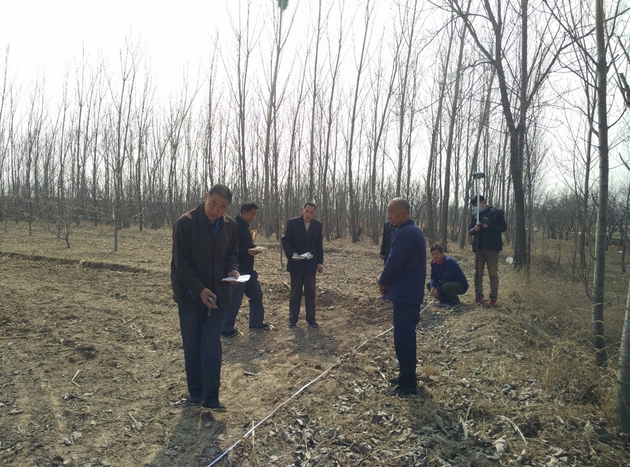
Entrusted by Li County Agricultural Bureau, our company undertook the D package project of Confirmation, Registration and Certification Project of Rural Land Contractual Management Right in Li County in September 2015, including surveying and mapping for confirmation of land contractual management right in 66 villages under the jurisdiction of Nanzhuang Town, Beiniantou Township and Baoxu Township, mainly including land contractual management right investigation and database construction. The project started in September 2015 and completed in October 2017, taking about 2 years and 2 months.
Due to the heavy task and time constraints, the project department developed a thorough survey plan to investigate plot by plot with the administrative village as the unit. The township people's governments arranged the operation sequence to ensure the investigation was carried out in an orderly manner. The overall working sequence was ownership investigation, publicity review and database construction. The use of CORS measurement technology improved operational efficiency and reduced labor intensity. In this survey area, the coordinates of the boundary points were measured directly by using the network RTK dynamic positioning measurement technology for the plots that cannot be illustrated on the orthophoto map, instead of the conventional total station polar coordinate method of measurement, which saved time and labor and is fast and efficient.
All the information of this project was submitted to the owner and passed the owner's acceptance successfully. During the construction, the specifications, rules and technical plans were strictly implemented without any quality, safety and environmental accidents and complaints from related parties.